Kevin wanted to see West Virginia. Or, at least that's the way I heard it when he called me to let me know that he'd be in the Pittsburgh area for a few days of filming (he's a sound guy). He had a few days off after that, and wanted to have some fun outside.
I reassured him that I could find some.
So we spent three days exploring the Potomac Highlands by day and pontificating by night. It was a memorable experience. The highlights follow.
We arrived at Mark and Margot's cabin at Dolly Sods on Monday afternoon as our home base. We unloaded and spent the remaining daylight hours exploring the North Fork and running the Forest Road (Captain Thurmond's is two days away!!). Anticipating a big day on Tuesday, we didn't want to do too much. When you're camping or spending time at a cabin with no electricity, bedtime and sunset become closer to one another, especially when you introduce a bottle of Shiraz. This often translates to an early rise, making the days even more intense.
We logged a total of ten trail miles on Tuesday, first with the required to the summit of Seneca Rocks. Of course I was skittish up there, but I'm getting more comfortable each time.
A half-pound of turkey and a block of sharp cheddar later, our stomachs were full and we were on our way up Red Creek in the Dolly Sods Wilderness. The plan was loose, but ended up consisting of a trail loop (Red Creek - Big Stonecoal - Dunkenbarger - Little Stone Coal - Red Creek). It's about 7 miles in total. The rush of the hike came about a mile and a half in, when we came across the first black bear I've ever seen in this area, despite its reputation for bear sightings. We spent the remainder of the hike like we were on some aboriginal drum march, tapping twigs or rocks together, whistling, and musing about what weapons we wished we'd brought. Some great information came out of this hike: there are two incredible campsites on this loop for future backpacking. The first is just after taking a left onto Dunkenbarger. It's a very remote site along a meandering creek. The second is where Little Stonecoal crosses Red Creek, which has a nice sandy beach and a deep swimming hole.
We had dinner at the Purple Fiddle and crashed early. That's a productive day in the mountains.
Wednesday was one of those days when things just seem to go your way. After a failed attempt to find a hike from Blackwater Falls (beautiful falls; too bad there's a boardwalk to get there and you can't jump in), we decided to try our luck at finding a good trail. So, we headed toward Morgantown through the Monongahela National Forest north of Thomas. A few well thought out decisions led us to an old gated forest road off US 219. It didn't look very well-traveled, but it was well-defined, so we decided to give it a shot. At each turn, we constructed a rock cairn and felt comfortable with our chances of making it back to the car.
After about 1 - 2 miles of hiking through thick, grassy woods, we came to a jeep road. Turning onto this, we started to see "HP" blazed on trees and figured we were following some access road for Highland Power or Hippie Produce or Hilda's Pasture. After a few more turns (and a few more cairns), we followed the trail to an obelisk-shaped monument that marked the MD/WV border. Okay, that's pretty cool, but I started to remember that the Highest Point in MD is on the WV border, and figured the HP blazes must stand for High Point! A few hundred yards further, and we came upon the summit of Backbone Mountain, complete with a plaque, a picnic table, and little certifications you can fill out yourself to confirm that you'd stood on the highest point in Maryland.
May the peakbagging commence. I have been to the highest point in DC, but that's the entrance to the Wisconsin Ave. Whole Foods. Now, I've got a real highest point under my belt.
Here are the photos I took, but only from the summit hike. I forgot my camera the other times (dumbass!).
49 to go!!
Git 'r dun.
Dolly Sods
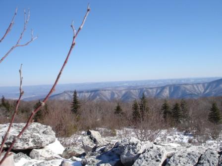
February 2007
Rock City, Coopers Rock State Forest
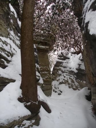
February 2007
The Escape Pod
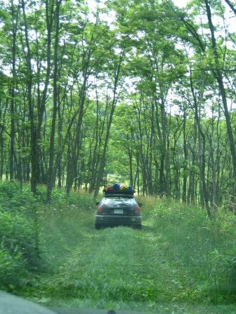
1998 - 2006
Potomac, North Fork of the South Branch
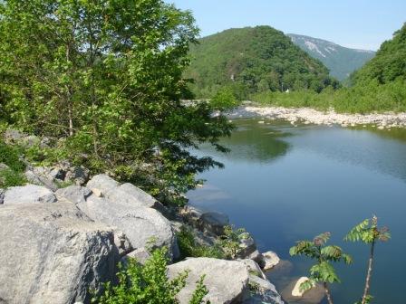
Summer 2005
Me & Mounty
