It's not often that you get to soak up the sun while surfing a 6 foot river wave at the base of a 1000 foot cliff in a remote canyon that you can only get to by kayak.
My friends Mark and Liam joined me for another trip to the Dolly Sods area in the spring of 2006. Liam's girlfriend , Lauren, came along as well for a relatively spontaneous trip out that way. The rain had been coming down for days, and I had been watching the online USGS river gauge for the local waterway, the North Fork of the South Branch of the Potomac (NFSB). Must be some old Indian name.
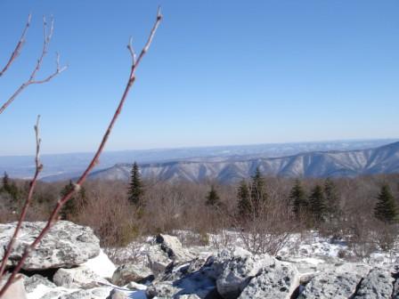
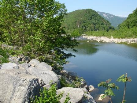
More specifically, we were interested in the section of river that flows through Hopeville Canyon, about a 4 mile long ride through a deep gorge. It's a short run by most river's standards, and the put in and take out are right alongside Rt. 55 between Petersburg and Seneca Rocks, but once you're on the water and around the first bend, there's no walking out. Both sides of the river are thickly forested when trees are able to take root in the steep hillside. Otherwise, the rocky canyon walls stretch vertically and you have to lay back on the stern deck of your kayak just to get the full effect.
We'd started on a Saturday morning, leaving from DC. By the time we got about 45 minutes east of our destination, concern began to set in. The river was in the trees, and running brown. To a boater, this spells high water, which in many cases is the best time, but if too high, you can expect to see dead trees floating down the river, which are prone to getting stuck on rocks, creating what boaters refer to as strainers. Strainers are one of our worst case scenarios. In addition, high water tends to make eddies, the small pools of calmer water behind rocks that boaters use to slow down, stop, or regroup, far and few between, and much less calm. American Whitewater rates this section of the NFSB as Class II-III, so weren't too concerned, but that rating is based on a river depth between 5 and 7 feet at the gauge, about 2 miles below the canyon.
We drove to the point on the river where the USGS collects its data and found the gauge. However, in many cases, gauges are no longer metersticks on the sides of a bridge pier or simply poking out of the river. The stick gauge has been replaced by the gauging station, which are solar-powered electronic gauges that uplink data to a server at USGS so that readers looking at a website can get necessary information about the river. Here's the one I had been checking. This is a fantastic resource, because one can now get accurate, realtime readings of depth, flow, and sometimes even temperature. However, the convenience stops when you get to the location, because unless you're holding a computer that is linked to the Internet, you have no idea what the current level is. Ain't technology great?
We were suspicious that the river was too high for our skills, which was quite possible given said skills, the remoteness of this run, and the amount of rain that had come down in the past couple of days. I had run the canyon once before, so I had a general idea of what we were getting into, and wasn't willing to go for it until we got some "beta" (aka, current information) on the river. We decided that Pizza Hut was our answer.
Ten miles back in Petersburg, we called Mark's wife, Yasmeen, and walked her through to the USGS gauge website for the NFSB while throwing down some Original Pan. Unfortunately, the USGS site for the NFSB only updates every 4 hours, and at the time, we were looking at beta from 3.5 hours before. It was a safe level. However, when we checked a gauge publicized as an alternate gauge for the canyon that was current, it was too high. We decided that we'd try to handle it anyway, and just be extra cautious. This a commonly made decision, and many times is inappropriately influenced by the fact that you've driven your boat and all your gear several hours to run a great river, and you don't want to turn back after all that. Case in point.
A couple of hours later, we were at the location described in the first paragraph. Surfing a river wave can be tiring when there are only three of us (i.e., only one guy in front of you in line), and when you have to cross a significant current to get into the wave from the eddy. So, we spent a gorgeous afternoon alternating between surfing and resting in the secluded canyon. I can't wait to get back to Hopeville Canyon when the river's running, and preferably at about 7.5 feet on the Cabins gauge.
We crashed at the cabin that night and woke up early to get back out to our outstanding wave before heading back to DC.
Git 'r Dun.
skip to main |
skip to sidebar
A catalog of West Virginia Moments